Grandstaff Canyon National Recreation Trail Adventures
Grandstaff Canyon National Recreation Trail offers an awe-inspiring hike through a scenic canyon with unique rock formations and a natural arch feature.
Popular Activities
Plan Your Visit
Everything you need to know to prepare for an unforgettable trip to Grandstaff Canyon National Recreation Trail.
Entrance Requirements
No permits or fees are required to access the trail.
Best Time to Visit
Spring and fall offer the best hiking conditions with moderate temperatures and blooming wildflowers.
Visitor Information
No visitor centers on-site; nearest in Moab.
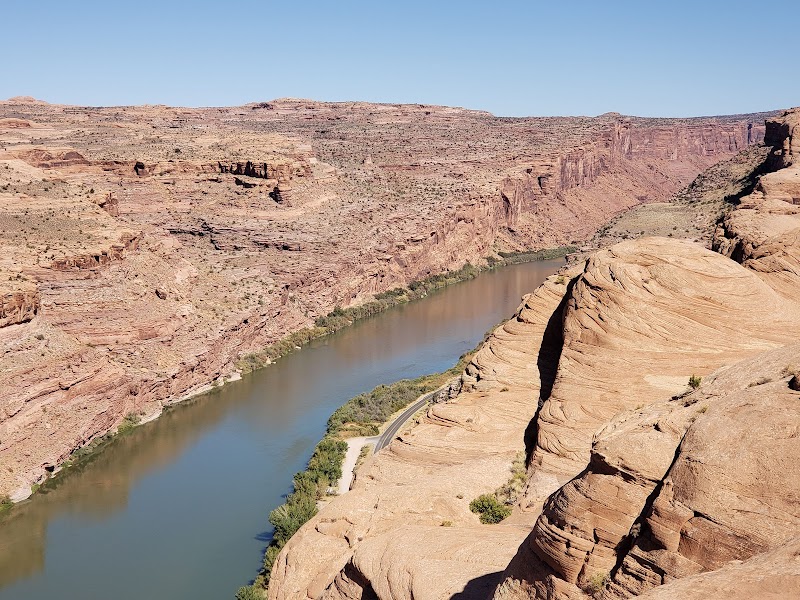
Getting There
Access via Utah Scenic Byway 128, parking available at the trailhead.
Weather & Climate
Hot summers with temperatures often exceeding 100°F, mild winters with occasional snowfall, and pleasant spring and fall weather with temperatures ranging from 50-80°F.
Conservation Efforts
Erosion and trail degradation due to heavy foot traffic; visitors are encouraged to stay on marked paths to help preserve the environment.
Camping in Grandstaff Canyon National Recreation Trail
Find the perfect spot to stay overnight and immerse yourself in the details.
Granstaff Campground
Located near the trailhead along Highway 128, offering basic amenities and river access.
Top Trails
Grandstaff Canyon Trail
Features a mix of shaded walks and open vistas, leading to the magnificent Morning Glory Natural Bridge.
Trailblazer Tips
Start early in the morning to avoid the heat and enjoy the trail at its quietest.
Spring and fall are ideal times to visit, as summer temperatures can exceed 100°F.
There are no fees required, but be sure to pack out all trash as the area is a protected space.
Bring plenty of water and sturdy footwear, as the trail involves several stream crossings.